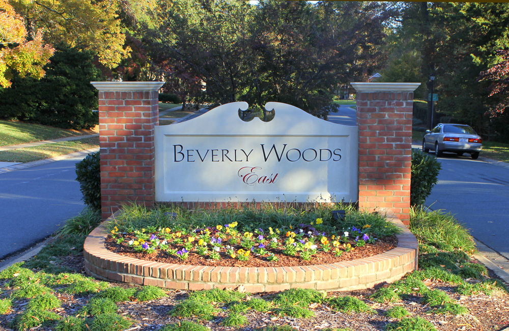
According to the Mapping L.A. project of the Los Angeles Times, Beverlywood is flanked on the north by Pico-Robertson, on the east by Mid-City, on the south by Palms and on the west by Cheviot Hills. Beverlywood’s street and other borders are given as: north, Cashio Street and Airdrome Street; east. Canfield Avenue and Robertson Boulevard; south, Cattaraugus Avenue; and west, Beverwil Drive and the boundary with the Hillcrest Country Club.The borders of the Beverlywood Home Owners Association are as follows: Monte Mar Drive to the north, Hillcrest Country Club and Anchor Avenue to the west, Beverlywood Street to the south, and Robertson Boulevard to the east. These borders are marked by entrance monuments and signs.
[optima_express_market_report id=”469825″ header=”false” columns=”2″]


